2014 Main Plant Collection System Hydraulic and Hydrologic (H/H) Model Update
Background: Burlington’s drainage infrastructure has been challenged in the recent years due to increasingly intense and more frequently occurring rain fall events. Because the system is a network, with potential downstream impacts whenever we implement a localized improvement, it is critical that we have a comprehensive understanding of our collection system and have a tool with which we can evaluate different possible scenarios in order find the most cost effective solution.
Hydrologic and Hydraulic (H/H) Modeling software enables DPW to create a representation of our collection system (the inlets, pipes, manholes and the wastewater treatment plant) as well as the runoff generating mechanisms of our landscape (impervious surface). We can then run simulations of different rain fall events and confirm the cause of observed drainage issues, whether it is an inlet problem, a local pipe problem or a downstream pipe problem. Simulations of proposed solutions to various drainage challenges can also be run so that DPW can evaluate the various benefits and disadvantages of a proposed project. Additionally, we can begin to examine possibilities for stormwater reductions to the combined sewer system which may have both local and downstream (at the Wastewater Treatment Plant) benefits.
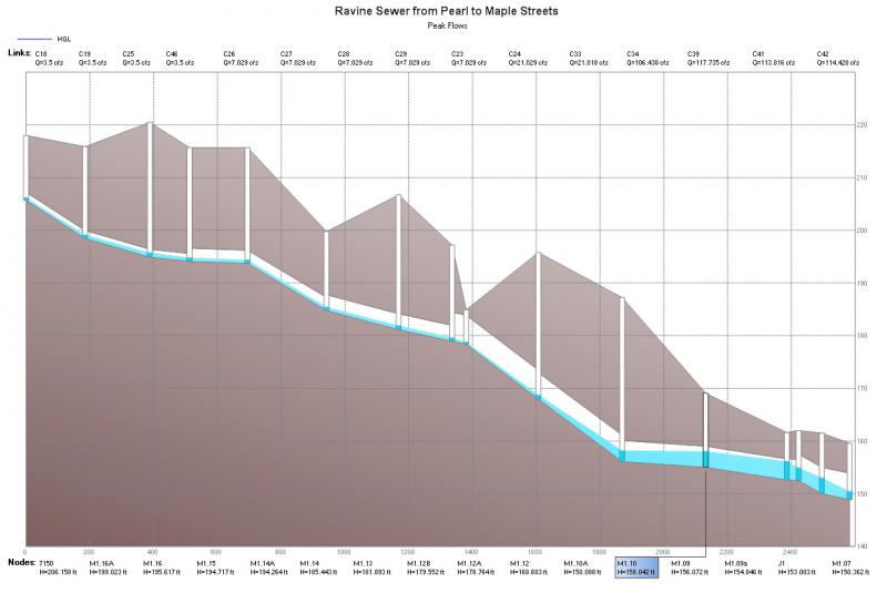
Example of H/H model display
A DOS based model was originally developed for the Main Plant Collection System in the late 1980s. While as much of the previous modeling effort will be used as possible, the model needs to be thoroughly updated to include the recent infrastructure mapping work that was done in 2011-2013 and also be brought into a modern program (PCSWMM) which has more functionality and is more seamlessly integrated with our GIS based mapping. Lastly, the landscape inputs to the model (impervious surface etc.) must also be updated to reflect the changes that have happened in the last 30 years.
While it is our intention to ultimately complete H/H models for the entire city, we have chosen the Main Plant Collection System as our starting place as it represents the largest and oldest portion of the City (53% of total city sewered area) and has the highest proportion of combined sewers (60% of total miles of pipe, 85% of watershed area). It is also the area of the City which has, in recent years, had some of the highest prevalence of basement sewer backups and street flooding.
Consultant: Stantec Consulting Services
Project Schedule: March 2014 - Ongoing
Project Cost: $138,850
Funding sources: Stormwater, City Capital